Top 5 Trails
Travel Inspiration
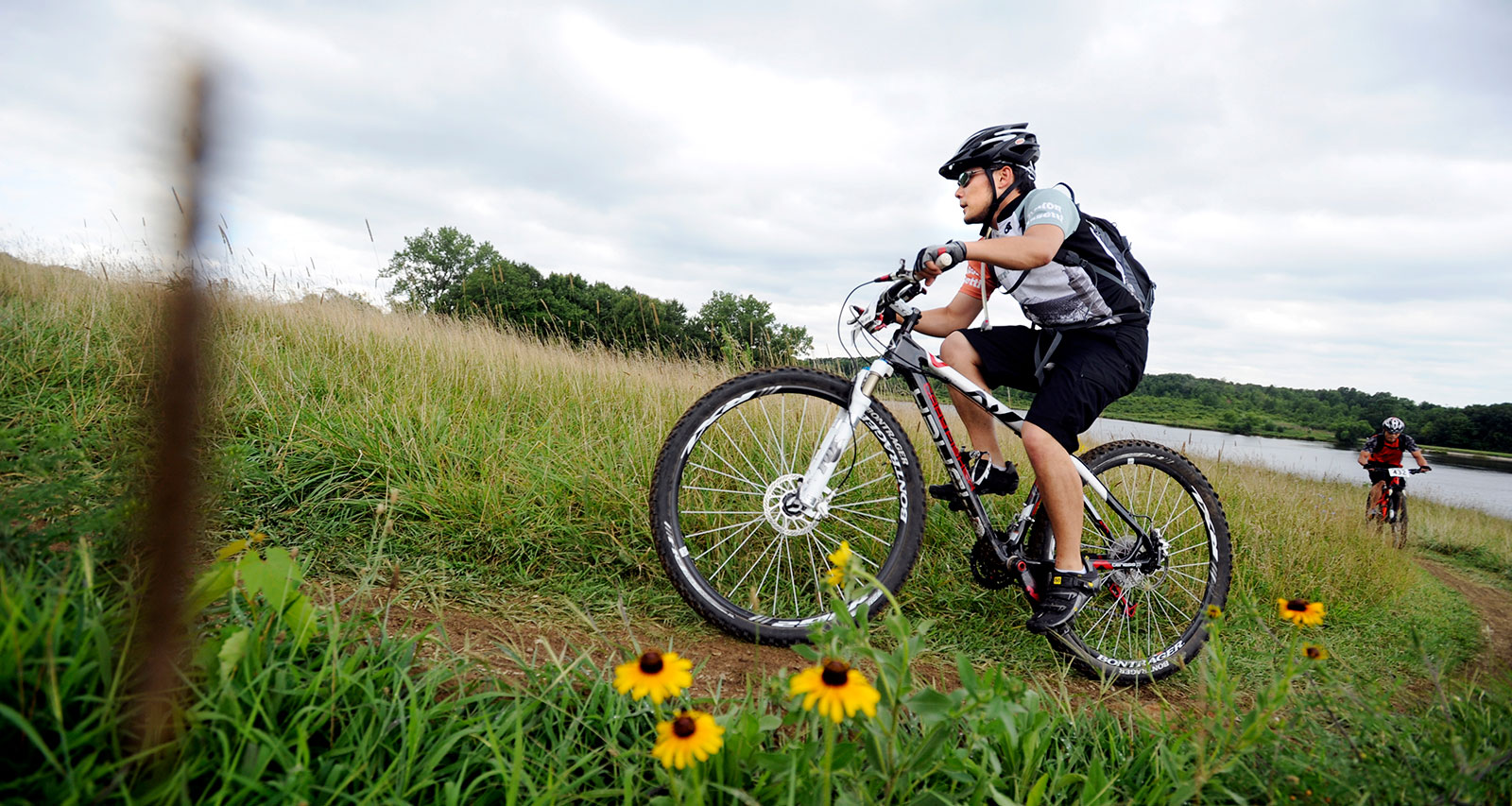
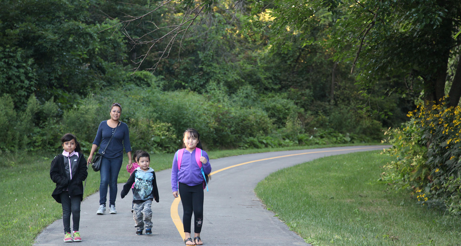
Shake off the city and BREATH! Chicago Southland is becoming the place where outdoor physical activity lives in North Eastern Illinois. If you’re looking for a place to explore, hike or ride a bike/horse, we’ve got you covered. There are over 40,000 acres of forest preserves throughout the Chicago Southland. The Forest Preserves of Cook County (FPDCC.com) and Forest Preserve District of Will County (ReconnectWithNature.org) are a wealth of information on trail location, mileage and surface type (asphalt, crushed limestone and so forth). When you’re traveling and you want to find the best place to run, hike or explore, check out some of the best trails located near many of our Chicago Southland hotels.
Total Length: 21 Paved Miles
Uses: Hiking, Biking, Running, In-Line Skating, Cross-Country Skiing, Snowshoeing
Nearby Hotels: Matteson
The Old Plank Road Trail travels 21 miles from Joliet east through New Lenox, Frankfort, Matteson and Park Forest. This was originally a Native American Transportation corridor and the route was used by traders, trappers and missionaries. Today, the oncoming traffic is likely to be a pack of retired cyclists zipping by or parents with strollers. Starting from Joliet and riding to Frankfort, you’ll cross an award-winning arrowhead-shaped suspension bridge, taking you over US 45. Historic Downtown Frankfort is at the center of the trail and there is often an event with music, food and fun whenever you ride through. Stop to take a look at the Park Forest Rail Fan Park, a two-acre railfan site along the trail, to read about the railroad industry, take a picture at the bright red 60 year old caboose and view the passing trains. The east end of the trail in Chicago Heights intersects with the Thorn Creek Trail, a scenic 21-mile route through several parks and forest preserves.
Total Length: 21.9 Paved and Unpaved Miles
Uses: Hiking, Biking, Cross-Country Skiing
Nearby Hotels: Chicago Heights, Lansing and South Holland
The Thorn Creek Trail winds past lakes and wetlands through woodlands abundant with birds and other wildlife. This trail is a connection of multiple forest preserves between the Old Plank Road Trail and ending in Sauk Trail Woods Forest Preserve in Chicago Heights. Many trees border along the trail, making the wind a non-factor. Parts of the trail were recently paved making it a smooth ride. There are plenty of bird watching spots along the trail to explore. Grab your RC Airplane and revert to childhood fun at the Thorn Creek Model Airplane Flying Field along the trail.
Total Length: 7.9 Paved Miles
Uses: Hiking, Biking, Inline Skating, Wheelchair Accessible
Nearby Hotels: Calumet City, Lansing and South Holland
Visit two states in one simple run. The Pennsy Greenway is currently open in three segments between Calumet City, IL and Schererville, IN. The northern portion begins at the southern end of the Burnham Greenway in Calumet City on the eastern edge of the Forest Preserve District of Cook County’s Green Lake Woods. The trail proceeds south to Bernice Road, crosses under I-80/94 and continues southeast through residential neighborhoods to just past the Illinois-Indiana state line. At Fisher Street, the trail links directly with Lake County's Monon Trail and a local bike path. This is a rail-trail with a nice, shady path that makes for smooth riding.
Total Length: 13.3 Paved Miles
Uses: Hiking, Biking, Running
Nearby Hotels: Alsip and Crestwood
The Cal-Sag Trail is a multi-use path built almost entirely along the banks of the Cal-Sag Channel and Calumet River. A beautiful touch of nature that is part of the trail can be found at Lake Katherine Nature Center in Palos Heights. By 2018, the Eastern segment of the Cal-Sag Trail will be complete, linking the Western portion to the Burnham Greenway Trail and will stretch 26 miles connecting several communities and trails while providing access to several forest preserves and natural areas. The goal is to create a 100-mile-plus loop through the south suburbs which will be known as the Southland Century Trail.
Total Length: 38.9 Unpaved Miles
Uses: Hiking, Biking, Equestrian, Cross-Country Skiing
Nearby Hotels: Alsip, Bridgeview and Crestwood
The Palos Trail System was listed as one of the top 25 trail runs in America, according to Runners World. At 15,000 acres, the Palos Preserves in southwest Cook County are the largest concentration of preserved land in the forest preserves. These trails join many popular sites, such as the Little Red Schoolhouse Nature Center, Saganashkee Slough and Maple Lake which is home to a mountain bike staging area that provides access to almost 40 miles of unpaved trails. Get your steps in at Swallow Cliff, best known for the dramatic “front lawn,” which leads up to a steep 100-foot-tall bluff. This bluff was formed 12,000 years ago when glacial melt water carved out the Sag Valley, leaving behind steep walls and varied landscape of morainal hills and pothole lakes. Now you have double the opportunity to get a killer workout. Recently a new set of stone stairs opened as well as a Swallow Cliff Pavilion and Café. The additional 168 steps in the new set brings the total number of stairs built into the bluff to 293. At the new pavilion, visitors will find restrooms, a warming shelter, outdoor picnic tables and Vamoose Café, offering a variety of beverages and grab-and-go snacks.
Related Articles
Explore hundreds of miles of riding trails in the Chicago Southland If you’ve got a couple ho... READ MORE
Do you believe in the power of play? Big Marsh Bike Park is a playground for cycling. This is a new ... READ MORE
The vast recreation and forest preserve areas available in the Chicago Southland are filled with opp... READ MORE
No matter what time of year it is, there’s something entertaining or fun or delicious or beaut... READ MORE


THINGS TO DO
EVENTS
DINING
ACCOMMODATIONS
PLAN YOUR TRIP
BLOG
MEETINGS
SPORTS
GROUP TOURS
SOCIAL EVENTS
MEDIA
MEMBERSHIP
ABOUT US
FACEBOOK
YOUTUBE
TWITTER
INSTAGRAM
LINKEDIN
TRIP ADVISOR
CONTACT US SITE MAP PRIVACY POLICY & DISCLAIMER
© Copyright 2001-2026 Visit Chicago Southland. All Rights Reserved. Developed by J Rudny, LLC
4801 Southwick Drive, Suite 225| Matteson, IL 60443-3102
(708) 895-8200 | Toll Free (888) 895-8233 | FAX (708) 895-8288